
Alpe Adria Trail
750km route through Carinthia's lakes and mountains
The Alpe Adria Trail is a long-distance hiking route spanning approximately 750 kilometers across 43 stages. It connects Carinthia in Austria with Slovenia and the Friuli-Venezia Giulia region in Italy. The trail begins at the Grossglockner, Austria’s highest mountain, and ends in Muggia. It is designed primarily for pleasure hikers, avoiding major Alpine terrain and featuring slight altitude differences. Stages average 20 kilometers in length, typically taking about six hours to complete.
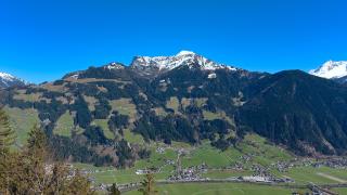
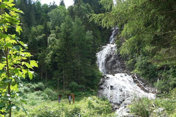
The route passes through scenic mountain and lake regions in Carinthia, as well as the Dreiländereck, where the borders of the three countries intersect. Hikers encounter diverse landscapes, including vineyards and sites from the First World War. The trail also leads to the UNESCO World Heritage city of Cividale del Friuli, offering significant cultural context. The path is consistently signposted and walkable in both directions, ensuring ease of navigation.
Each stage includes culinary options and suitable overnight accommodation, facilitating a comfortable experience. The trail is considered suitable for families and those seeking a slow-paced hiking experience rather than technical challenges. However, accommodations can be scarce during the summer months, requiring advance planning. The Alpe Adria Trail provides a structured way to explore the natural and cultural heritage of the region, combining physical activity with access to local history and cuisine. This setup allows travelers to engage deeply with the landscape and communities along the route.
Categories
More photos coming soon
Nearby Attractions
Other places to visit in Carinthia

Frequently Asked Questions
Quick Facts
Best Time to Visit
Visit from mid-May to September for warm weather ideal for swimming and hiking.