

Bielerhohe
High mountain pass in Austrian Tyrol
- Where
- Galtür, Tyrol
- Directions
- Directions
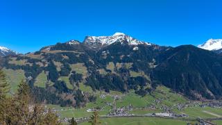
The Bielerhöhe is a high mountain pass at about 2,000 metres in the Silvretta range, and it marks the border between Vorarlberg and Tyrol. It lies on the Silvretta High Alpine Road, a toll road that climbs from the Montafon valley in Vorarlberg to the top of the pass and then descends into the Paznaun valley in Tyrol. The road is one of the great scenic drives in Austria, with a long series of hairpin bends, and it is usually open only in the warmer months, since snow closes it for much of the year. The summit of the pass is a broad, rocky saddle surrounded by peaks.
The main feature at the top is the Silvretta reservoir, a large mountain lake held back by a dam, whose water is a deep green-blue against the grey rock. The lake was created for hydroelectric power, and the dam wall can be crossed on foot, with views along the water to the glaciers and peaks beyond. Visitors can walk the shoreline, take a boat trip on the lake in season or simply sit on the terrace of the mountain hotel and enjoy the view. The scenery is typical of the high Alps, with sparse grass, rock, snow patches and sharp ridges, and the air is cool and clear even in summer.
The Bielerhöhe is also a starting point for many walks and mountain tours. Easy paths follow the lake and lead to viewpoints, and more demanding routes climb into the Silvretta massif, where huts such as the Wiesbadener Hütte provide food and beds for walkers and climbers. Piz Buin, the highest mountain in Vorarlberg, rises above the glaciers to the south, and ascents of it start from the huts in the area. Marked trails give a choice for different abilities, though all should be approached with care because of the altitude and changeable weather.
The pass has served as a crossing between valleys for a long time, but the modern road is a product of the twentieth century and of the hydroelectric development of the region. Cyclists and motorcyclists enjoy the climb, and the road is busy on summer weekends.
Weather can change quickly at this height, so bring warm clothing and rain protection even on a sunny day, and check that the road is open before setting out. The Bielerhöhe suits drivers who enjoy mountain roads, walkers who like high scenery and photographers looking for a lake and glacier panorama in a single place.
Categories

More photos coming soon
Nearby Attractions
Closest attractions by distance

Silvretta Montafon Ski Area
140km of slopes across Schruns, St. Gallenkirch, and Gaschurn
Mountain Hiking · Ski Resorts
Montafon Trail (Montafoner Weg)
Marked hiking trail through Schruns
Free Mountain Hiking · Scenic Valleys
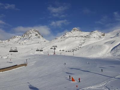
Skigebiet Ischgl–Samnaun (Silvretta Arena)
Cross-border ski area linking Ischgl and Samnaun
Mountain Hiking · Ski Resorts
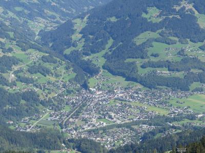
Schruns Thermal Spas
Thermal spa in Schruns, Austria
Mountain Hiking · Thermal Springs
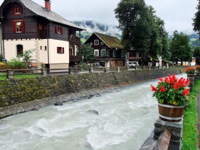
Schruns Tourist Attractions (General)
Tourism office in Schruns, Austria
Free Local History · Scenic Valleys

Schruns Town Center
Tourist information center in Schruns, Montafon
City Centers · Historic Districts

Sulzfluh
Alpine peak with 360-degree Alpine views
Mountain Hiking · Scenic Trains

Ski Arlberg
Austria's snowiest resort in the Arlberg region
Mountain Hiking · Ski Resorts
Questions people ask
Quick Facts
Best Time to Visit
Late June to September for walking and the Silvretta road; December to April for skiing and cross-country trails.