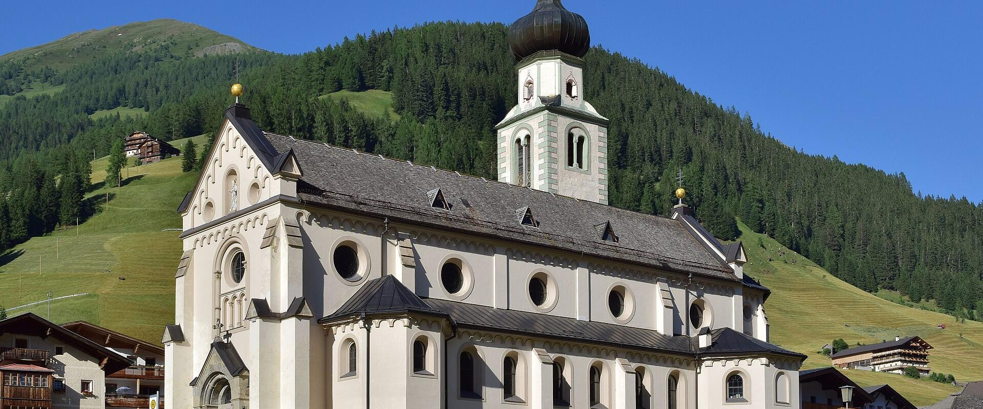
Innervillgraten belongs to the district of Lienz, which makes up East Tyrol, a part of the province that is cut off from North Tyrol by a strip of Italian and Salzburg territory. The Villgraten Valley leaves the Pustertal near Sillian and runs north for many kilometres between steep slopes before ending in a ring of ridges. Ausservillgraten lies at the lower end, and Innervillgraten, at about 1,400 metres, sits further in. Together the two communities make up one of the most remote and least developed areas of Austria, and the valley has been described as one of the best-preserved cultural landscapes of the Alps.
What strikes visitors first is the farmland. Slopes that would be left to forest elsewhere are still cut for hay or grazed, and many are too steep for machines. Farmers work with hand tools and small mowers, and in late June the hillsides can be seen in strips of colour. Traditional farm buildings in dark weathered timber stand singly or in clusters, often with the barn above or beside the house. Some of them are several hundred years old. The valley has also kept a tradition of regional crafts, particularly in wood and in wool, and some farms sell their own cheese, bacon and bread.
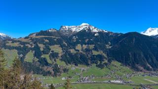
The mountains here are called the Villgraten Mountains, a sub-range with a different look from the nearby Dolomites. The summits are mostly rounded and grassy, with scree and rock only on the higher parts. That makes them friendly for walkers without climbing experience, and it also makes them good ski touring terrain in winter. Typical days start from the valley floor or from a high farm track and climb through larch and spruce to open pasture, then continue along ridges. There are old Alpine huts and mountain inns in the side valleys. The views from the crests reach the Dolomites to the south, the Hohe Tauern glaciers to the north and the border ridge toward Italy.
Winter is quiet. Snow lies well here from December onward, and the valley is mostly used by ski tourers and snowshoe walkers. There are no big ski lifts at the head of the valley, and the larger ski areas lie around Sillian and the Hochpustertal. Cross-country trails run along the valley floor when conditions allow. For anyone planning to leave the marked routes in winter, avalanche awareness is essential and a local guide is a sensible choice.
Summer has its own rhythm. The first half of June is often still wet, the second half brings the flowering meadows, and from July the huts are in full operation. September gives crisp weather and golden larches in October. Thunderstorms are common on summer afternoons, so start early. Walkers should carry maps, since signposting is good but the terrain is large and phone signal can be patchy.
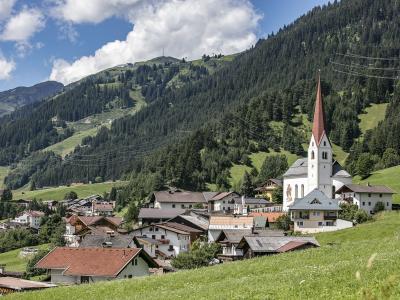
The village itself has a church, a school, a school and a handful of inns. Food tends to be farm-based: dumplings, cheese, smoked meats, barley dishes and cakes. Do not expect a large choice of restaurants, and consider booking ahead in peak season. Accommodation is mainly farm stays, apartments and guesthouses, which often include breakfast made from local products.
Getting here takes a little planning. The valley road starts at the Pustertal near Sillian and is an ordinary mountain road, open all year but sometimes affected by snow. A local bus links the valley with Sillian, which has a railway station on the line between Lienz and Franzensfeste in South Tyrol, so a visit by public transport is possible, though services are limited and a car is far more flexible. Lienz, the capital of East Tyrol, is the nearest larger town for supplies and sights, and the Italian Dolomites are a short drive away through Innichen and Toblach. The valley suits a stay of several days, with one day for a hut hike, one for the ridge and one for a slow walk through the farms. It is not a place for shopping or nightlife, and that is exactly why people return.
Best time to visit
June to September for walking among the grass mountains; January to March for ski touring and snowshoeing.
What to see in Innervillgraten
Our picks first.

Innervillgraten by interest
The same sights, grouped by what you came for.
Planning a visit to Innervillgraten
Good to know
- Currency
- EUR
- Language
- German