Hochschwab Nature Park
UNESCO Biosphere Reserve in the Austrian Alps
- Where
- Mürzzuschlag, Styria
- Directions
- Directions
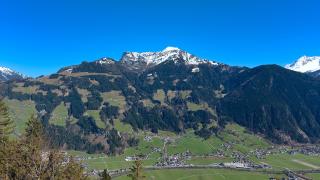
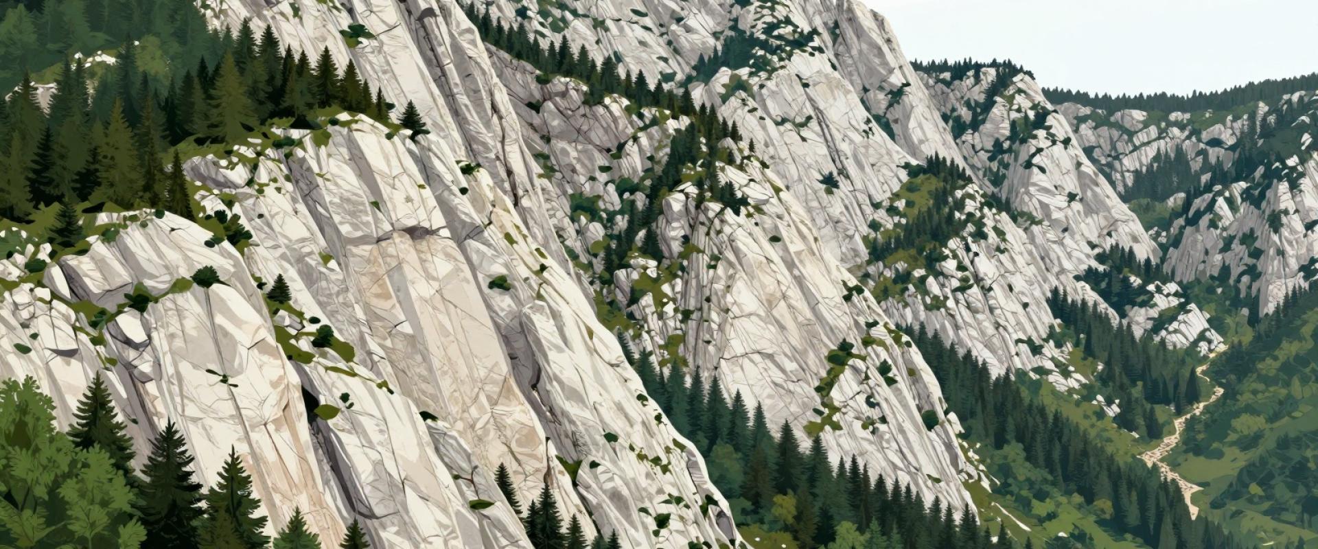
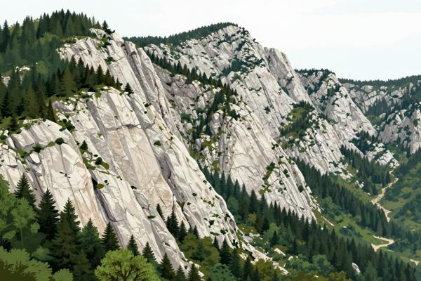
The Hochschwab is the largest mountain massif in the north of Styria, a high limestone plateau whose highest point, the Hochschwab itself, reaches about 2,277 metres. The area lies north-west of Mürzzuschlag, in the Bruck-Mürzzuschlag district, and it is a landscape of steep cliffs, rocky summits, alpine meadows, dwarf pine and deep forested valleys. The nature park region lies around the massif, in the upper Mürz valley, and is known for its quiet trails and unspoiled scenery. It is less visited than the better known mountain areas of Austria.
The geology is the key to the landscape. The Hochschwab is built of limestone, which is porous and dissolves in rainwater, so that the plateau is a karst area with caves, sinkholes and rocky pavements, and water disappears underground to re-emerge in springs at the foot of the mountain. Some of these springs are of great importance. The Hochschwab region supplies a large part of the drinking water for Vienna through the Second Vienna Mountain Spring Pipeline, built in the early twentieth century, and also supplies Graz, and the protection of the water explains why large parts of the massif are protected and quiet. The water that you drink in Vienna may well have fallen as rain or snow here.
The area is a rewarding area for walkers and mountaineers. Marked trails lead from the valleys to the high plateau, and mountain huts such as the Schiestlhaus, a modern, energy-efficient hut near the summit, offer food and overnight stays in the high country. Gentle routes follow the valley floors, past meadows, streams and farms, and educational walks, such as one dedicated to medicinal herbs, introduce the plants of the region. In winter the area is popular with ski tourers and snowshoe walkers, and smaller ski lifts serve local slopes. Cycling and mountain biking are options in summer on forest roads.
Wildlife includes chamois, marmots, red deer and golden eagles, and the flora is rich, with many alpine plants that grow only on limestone. Visitors should check the conditions before heading to the high areas, since weather can change quickly and snow can linger into early summer.
Mürzzuschlag is the nearest town, with a winter sports museum and a railway connection on the Semmering line, and it is a good base. A stay of a day or two gives a taste of the region.
Categories
More photos coming soon
Nearby Attractions
Closest attractions by distance

Zauberberg Ski Resort
Lower Austria's only World Cup slope and night skiing
Ski Resorts
Semmering Ski Resort
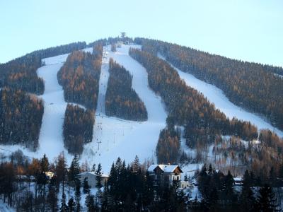
Connected Stuhleck and Hirschenkogel ski areas
From €10 Mountain Hiking · Ski Resorts

Rax Cable Car
One of Austria's oldest cable cars, operating since 1926
Cable Cars · Funiculars
Semmering Pass (Semmeringpass)
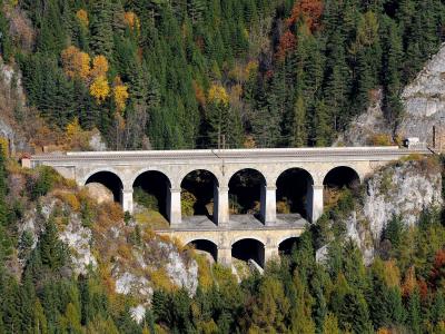
41-km railway with 14 tunnels through the Alps
Free Historic Railways · Mountain Hiking

Basilica of Mariazell
Austrian pilgrimage basilica and Benedictine monastery
Architectural Highlights · Historic Houses

Myrafälle
Natural waterfalls in Muggendorf, Lower Austria
From €7 Natural Wonders · Mountain Hiking
Mariazell Art Gallery
It is not possible to create a factual tagline for the "M...
From €6 History & Heritage · Museums & Art
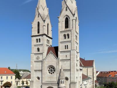
Wiener Neustadt Cathedral
Late Romanesque cathedral in central Wiener Neustadt
Religious Sites
Questions people ask
Quick Facts
Best Time to Visit
Visit from early July to mid-August for warm weather ideal for hiking and railway exploration.